Thursday, July 28, 2011

BARKERVILLE

Barkerville

Throughout our travels we have visited sights made famous by the gold rush. 


Cast of Barkerville Royal Theatre musical 
blacksmith in Barkerville


How fitting it is that we take in the famous Barkerville as we head back home.   
Painless tooth removal, 1860's style


 When gold was found in 1862, on Williams Creek, Barkerville was founded and quickly grew into a metropolis of its time. 

I thought this one had potential as a fixer upper?


Local town folk
The Cariboo gold rush is brought back to life in this provincial historic town.  


 There are more then 130 restored or recreated buildings in Barkerville. 
Gold prospectors camp


  I was most fascinated in the fact that there was a Chinatown in the 1860 in Barkerville. 

The courthouse was located near by in Richfield.    
Judge in Richfield


 Henry, loving everything about the old west, loves Barkerville. 
Barkerville Pharmacy


We took in all the shows, and visited all the sights.  
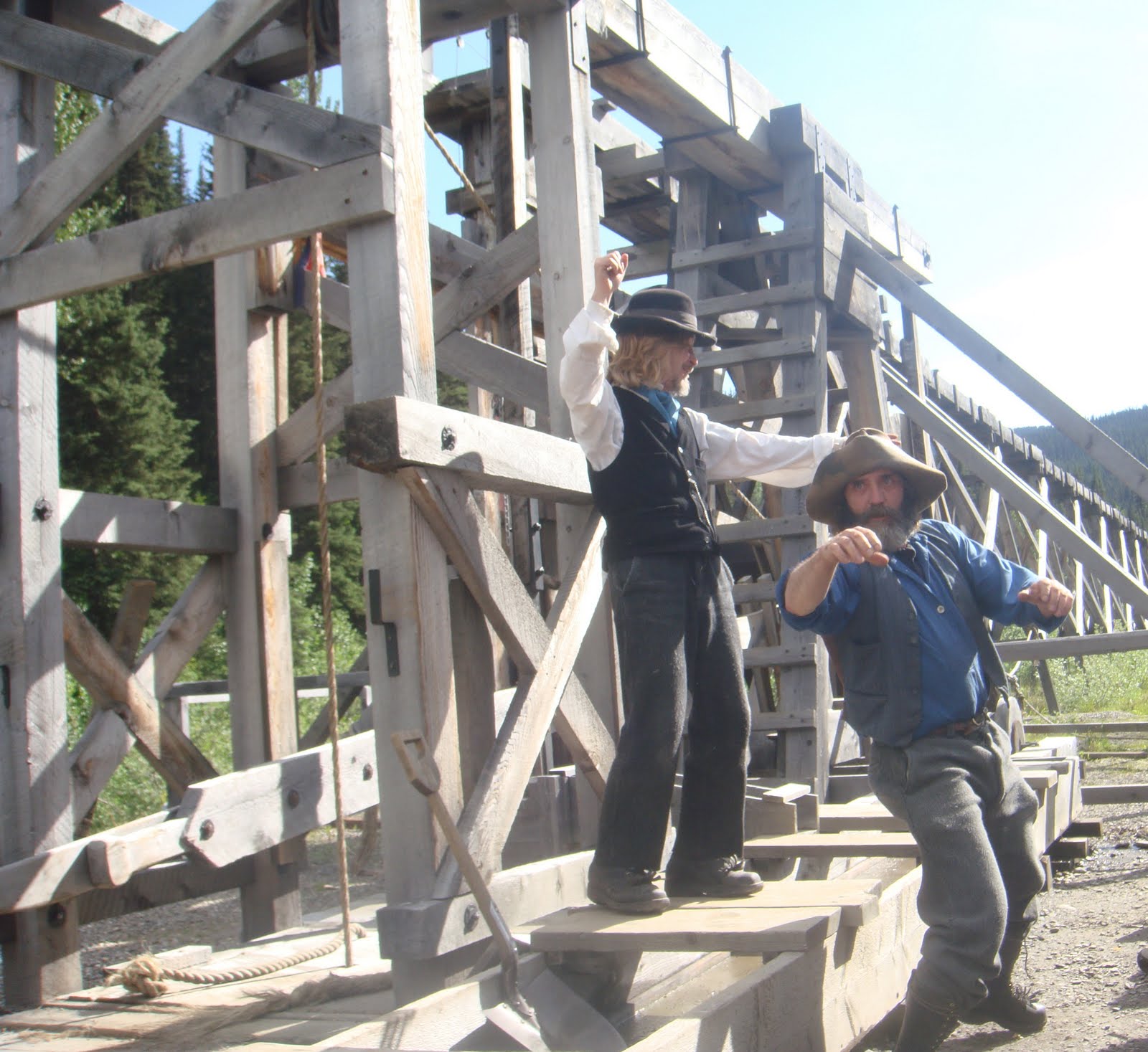
Waterwheel


And this is what it was all about. The GOLD

Wednesday, July 27, 2011

CHETWYND and BENNETT DAM


 We travelled to the Bennett Dam, by Hudson's Hope, the 100 million ton dam
Is one of the largest earth-filled structures in the world.  The dam provides 25 percent of BC hydroelectricity.  Oddly they also have fabulous baking in their cafĂ©.

historial Anglican Church in Hudson's Hope


Peace dam


Chetwynd’s claim to fame is the Worlds largest chainsaw carving competition.  The detail on the carvings was amazing.
We stayed at the Moberly Lake Provincial Park.  Due to the recent heavy rains, the boat launch and beach area were under water.  The damage in the area from the rains is indescribable.


TUMBLER RIDGE & KINUSEO FALLS


Trees just fallen over due to soil being so saturated with water.

Tumbler Ridge is the location of BC’s dinosaur discoveries in 2003.  This area is now a hot spot for the Palaeontology.


Kinuseo Falls
The Kinuseo Falls is a landmark of northern British Columbia, located 60 kilometres south of Tumbler Ridge, .   The falls themselves are taller then Niagara Falls by 10 metres.  Kinuseo Falls is 60 metres high.  It is a challenging drive to the falls.  The gravel road is pothole heaven, but I guess you guys all know by now that does not stop Henry and I. This area of British Colmbia has had a lot of rain this year, which has been very destructive to the roads in the area, with washout all over..  The creeks, ditches, and fields are all saturated with water.  We had planned on camping at Gwillim Lake Provincial Park but it was flooded so we parked the trailer on the Lions Flatbed River Campsite in Tumbler Ridge.   We packed a  picnic lunch and headed to the Kinuseo Falls.   


 The 60 KM took us close to two hours to drive.  When we arrive at the falls, the rain was so heavy we ate our sandwiches in the truck.   Then we walk the short hike to the Kinuseo falls.  They are beautiful, there are two lookouts.  We would have liked to hike down to the bottom but were not able to due to the heavy rain and muddy trail.
Road on way to falls


Potholes like this for 60 kilometres

Rocks on side of road, shows the coal depostis in area

Coal Plant

Tumbler Ridge is BC’s newest town, incorporated in 1981.  Just south of Tumbler’s Ridge is the Quintette Coal Mine, which was the world’s largest computerized open coal mine till is ceased operating in 2000. There are other smaller coal mines in the area that are still operating.
Another one lane wooden bridge

Conveyor belt the coal traveled for kms

Tuesday, July 26, 2011

THE ALASKA HIGHWAY


Mile Zero


The ALCAN Highway was built within 8 months during the summer of 1942.   It was built by the US in response to the Pearl Harbour attach. 

President Roosevelt wanted an overland link between Alaska and the lower US. 


  The Alaska Highway starts in Dawson Creek, at mile zero.  It travels 987 kilometres in British Columbia when it crosses into the Yukon near Watson Lake and then travels for 929 Kilometres till the Alaska border.


It then goes for 322 km to Delta Junction the official end of the Alaska Hwy.  The highway does continue for 298 miles to Fairbanks, the unofficial end.  


Henry and I travelled almost all of the Alaska Highway. 


We just didn’t do it in a straight logical line.   We missed a small section between Whitehorse and Haines Junction, 160 km, due to our detour down to Skagway. 


Travelling along the Alaska Highway is an amazing journey if you like nature, wildlife and incredible scenery.  

 The road is in not too bad shape, with all of it now paved.  Before travelling this road,

I never knew that one business constitutes a ‘town’ on the map.   Examples,  Nugget City, Johnsons Crossing, and Rancheria.


The unofficial end in Fairbanks Alaska